
Scharans topographic map
Interactive map
Click on the map to display elevation.
About this map
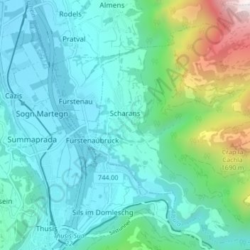
Name: Scharans topographic map, elevation, terrain.
Location: Scharans, Viamala, Grauwbunderland, 7412, Zwitserland (46.69345 9.45145 46.73853 9.51321)
Average elevation: 3,074 ft
Minimum elevation: 2,083 ft
Maximum elevation: 7,238 ft