
Sardis topographic map
Interactive map
Click on the map to display elevation.
About this map
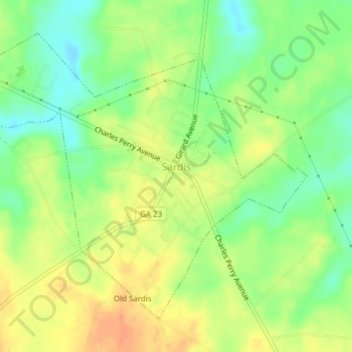
Name: Sardis topographic map, elevation, terrain.
Location: Sardis, Burke County, Georgia, USA (32.96133 -81.78144 32.98723 -81.74349)
Average elevation: 226 ft
Minimum elevation: 157 ft
Maximum elevation: 289 ft