
Garut topographic map
Interactive map
Click on the map to display elevation.
About this map
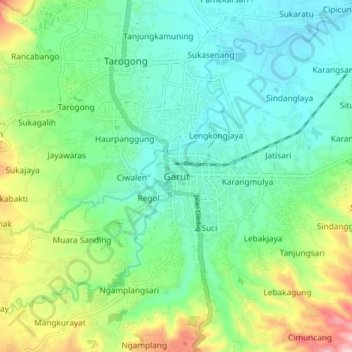
Name: Garut topographic map, elevation, terrain.
Location: Garut, Java occidental, 44117, Indonésie (-7.25625 107.86149 -7.17625 107.94149)
Average elevation: 2,513 ft
Minimum elevation: 2,224 ft
Maximum elevation: 3,238 ft