
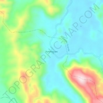
Yurimaguas topographic map
Interactive map
Click on the map to display elevation.
About this map
Name: Yurimaguas topographic map, elevation, terrain.
Location: Yurimaguas, Leoncio Prado, Huánuco, Peru (-9.22069 -76.09322 -9.18069 -76.05322)
Average elevation: 2,379 ft
Minimum elevation: 1,975 ft
Maximum elevation: 3,360 ft