
Campo de Marte topographic map
Interactive map
Click on the map to display elevation.
About this map
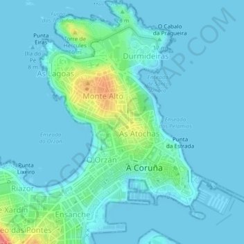
Name: Campo de Marte topographic map, elevation, terrain.
Location: Campo de Marte, Torre-As Atochas, A Coruña, Galicia, España (43.37546 -8.40014 43.37658 -8.39865)
Average elevation: 33 ft
Minimum elevation: -3 ft
Maximum elevation: 240 ft
Other topographic maps
Click on a map to view its topography, its elevation and its terrain.