
Guadalupe Victoria topographic map
Interactive map
Click on the map to display elevation.
About this map
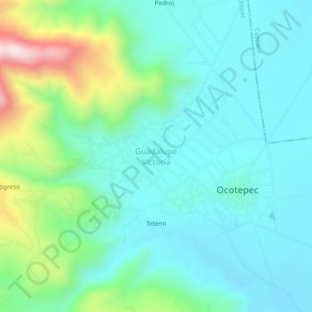
Name: Guadalupe Victoria topographic map, elevation, terrain.
Location: Guadalupe Victoria, Ocotepec, Puebla, México (19.53972 -97.68000 19.57972 -97.64000)
Average elevation: 8,255 ft
Minimum elevation: 7,815 ft
Maximum elevation: 9,744 ft