
Powder Mill topographic map
Interactive map
Click on the map to display elevation.
About this map
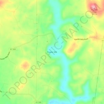
Name: Powder Mill topographic map, elevation, terrain.
Location: Powder Mill, Hart County, Kentucky, USA (37.32700 -85.73330 37.36700 -85.69330)
Average elevation: 669 ft
Minimum elevation: 486 ft
Maximum elevation: 915 ft