
Pulau Bunting topographic map
Interactive map
Click on the map to display elevation.
About this map
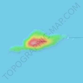
Name: Pulau Bunting topographic map, elevation, terrain.
Location: Pulau Bunting, Alor Setar, Malaysia (5.87342 100.31756 5.88153 100.33731)
Average elevation: 20 ft
Minimum elevation: 0 ft
Maximum elevation: 466 ft