
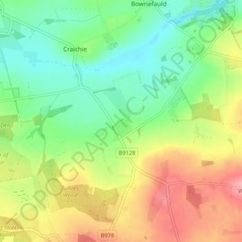
Upper Tulloes topographic map
Interactive map
Click on the map to display elevation.
About this map
Name: Upper Tulloes topographic map, elevation, terrain.
Location: Upper Tulloes, Angus, Scotland, DD8 2LZ, United Kingdom (56.58271 -2.81730 56.62271 -2.77730)
Average elevation: 430 ft
Minimum elevation: 292 ft
Maximum elevation: 627 ft