
Kampung Pulau Manis topographic map
Interactive map
Click on the map to display elevation.
About this map
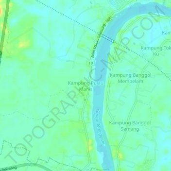
Name: Kampung Pulau Manis topographic map, elevation, terrain.
Location: Kampung Pulau Manis, Terengganu, 21210, Malaysia (5.22986 103.01257 5.26986 103.05257)
Average elevation: 30 ft
Minimum elevation: 0 ft
Maximum elevation: 102 ft