
Forestdale topographic map
Interactive map
Click on the map to display elevation.
About this map
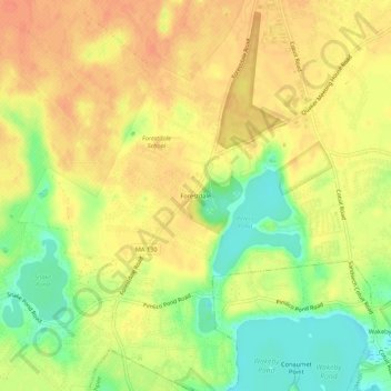
Name: Forestdale topographic map, elevation, terrain.
Location: Forestdale, Barnstable County, Massachusetts, USA (41.67177 -70.51947 41.71177 -70.47947)
Average elevation: 138 ft
Minimum elevation: 49 ft
Maximum elevation: 190 ft