
Lebanon topographic map
Interactive map
Click on the map to display elevation.
About this map
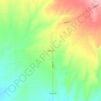
Name: Lebanon topographic map, elevation, terrain.
Location: Lebanon, Montezuma County, Colorado, USA (37.43733 -108.61262 37.47733 -108.57262)
Average elevation: 6,640 ft
Minimum elevation: 6,375 ft
Maximum elevation: 6,998 ft