
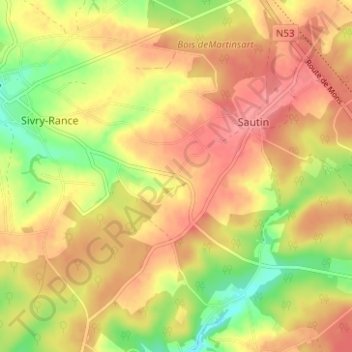
Le Touquet topographic map
Interactive map
Click on the map to display elevation.
About this map
Name: Le Touquet topographic map, elevation, terrain.
Location: Le Touquet, Hainaut, Wallonia, 6470, Belgium (50.13764 4.19242 50.17764 4.23242)
Average elevation: 801 ft
Minimum elevation: 656 ft
Maximum elevation: 892 ft