Geolocate

Huayhuash topographic map

Click on the map to display elevation.

About this map

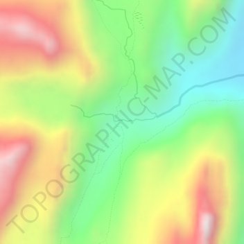
Name: Huayhuash topographic map, elevation, terrain.

Location: Huayhuash, Jesús, Province of Lauricocha, Huánuco, Peru (-10.33771 -76.85280 -10.31771 -76.83280)

Average elevation: 14,780 ft

Minimum elevation: 13,691 ft

Maximum elevation: 16,001 ft

Gear up for your next adventure:

🗺️NatGeo Topo Maps - High-quality waterproof printed topographic maps of US Parks
🔭Stargazing Telescopes - Perfect for camping in low-light pollution areas shown on maps
🪶Paracord Bracelet - Survival bracelet with built‑in tools
🎒Trekking Poles - Sturdy poles for balance and stability on rough terrain
🛰️Satellite Messengers - Emergency SOS and two-way messaging for off-grid adventures

As an Amazon Associate, this site earns from qualifying purchases at no extra cost to you.