
Yoegale topographic map
Interactive map
Click on the map to display elevation.
About this map
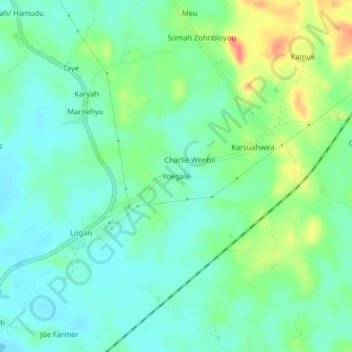
Name: Yoegale topographic map, elevation, terrain.
Location: Yoegale, Neekreen, Grand Bassa County, Liberia (5.91147 -10.00488 5.95147 -9.96488)
Average elevation: 59 ft
Minimum elevation: 3 ft
Maximum elevation: 174 ft