
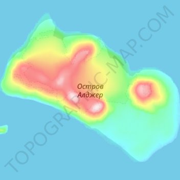
Остров Алджер topographic map
Interactive map
Click on the map to display elevation.
About this map
Name: Остров Алджер topographic map, elevation, terrain.
Average elevation: 174 ft
Minimum elevation: 0 ft
Maximum elevation: 1,358 ft
Other topographic maps
Click on a map to view its topography, its elevation and its terrain.
Arkhangelsk
Russie > Région d'Arkhangelsk > городской округ Архангельск
Arkhangelsk, городской округ Архангельск, Région d'Arkhangelsk, District fédéral du Nord-Ouest, Russie
Average elevation: 33 ft