
Wartena topographic map
Interactive map
Click on the map to display elevation.
About this map
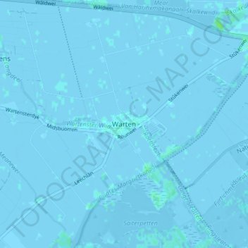
Name: Wartena topographic map, elevation, terrain.
Location: Wartena, Friesland, Nederland, 9003, Nederland (53.13040 5.87804 53.17040 5.91804)
Average elevation: 0 ft
Minimum elevation: -23 ft
Maximum elevation: 23 ft
Other topographic maps
Click on a map to view its topography, its elevation and its terrain.