
Jerrong topographic map
Interactive map
Click on the map to display elevation.
About this map
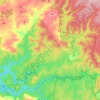
Name: Jerrong topographic map, elevation, terrain.
Location: Jerrong, Oberon Council, New South Wales, 2580, Australia (-34.20593 149.77113 -34.10475 149.90595)
Average elevation: 2,999 ft
Minimum elevation: 2,244 ft
Maximum elevation: 3,901 ft