
Croker topographic map
Interactive map
Click on the map to display elevation.
About this map
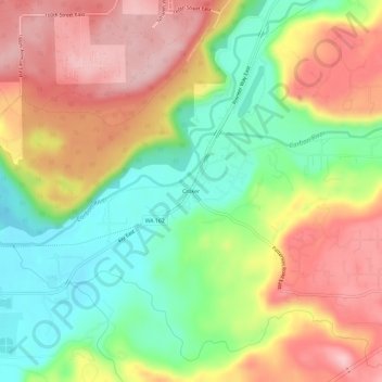
Name: Croker topographic map, elevation, terrain.
Location: Croker, Pierce County, Washington, 98391, USA (47.07260 -122.17678 47.11260 -122.13678)
Average elevation: 518 ft
Minimum elevation: 197 ft
Maximum elevation: 850 ft