
Villanova d'Asti topographic map
Interactive map
Click on the map to display elevation.
About this map
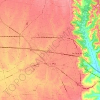
Name: Villanova d'Asti topographic map, elevation, terrain.
Location: Villanova d'Asti, Asti, Piemonte, 14019, Italia (44.91232 7.88343 44.99393 7.99412)
Average elevation: 820 ft
Minimum elevation: 564 ft
Maximum elevation: 928 ft