
Hovin topographic map
Interactive map
Click on the map to display elevation.
About this map
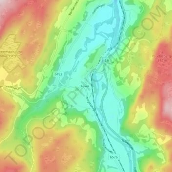
Name: Hovin topographic map, elevation, terrain.
Location: Hovin, Melhus, Tröndelag, 7236, Norwegen (63.08554 10.20504 63.12554 10.24504)
Average elevation: 577 ft
Minimum elevation: 62 ft
Maximum elevation: 1,358 ft