
Warren topographic map
Interactive map
Click on the map to display elevation.
About this map
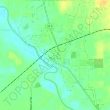
Name: Warren topographic map, elevation, terrain.
Location: Warren, Huntington County, Indiana, United States of America (40.66989 -85.43964 40.69735 -85.41104)
Average elevation: 837 ft
Minimum elevation: 801 ft
Maximum elevation: 886 ft