
Herck-Saint-Lambert topographic map
Interactive map
Click on the map to display elevation.
About this map
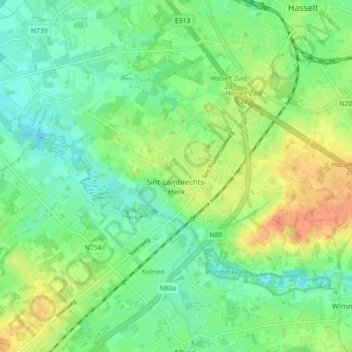
Name: Herck-Saint-Lambert topographic map, elevation, terrain.
Location: Herck-Saint-Lambert, Hasselt, Limbourg, Flandre, Belgique (50.88566 5.26011 50.92150 5.34878)
Average elevation: 135 ft
Minimum elevation: 82 ft
Maximum elevation: 220 ft