
San Antonio de Cortés topographic map
Interactive map
Click on the map to display elevation.
About this map
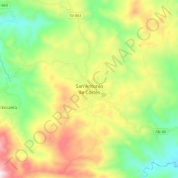
Name: San Antonio de Cortés topographic map, elevation, terrain.
Location: San Antonio de Cortés, Cortés, Honduras (15.07642 -88.08112 15.15642 -88.00112)
Average elevation: 1,686 ft
Minimum elevation: 374 ft
Maximum elevation: 3,471 ft