
Tilzapotla topographic map
Interactive map
Click on the map to display elevation.
About this map
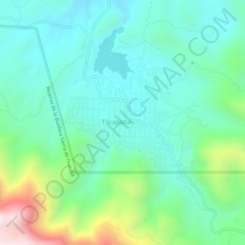
Name: Tilzapotla topographic map, elevation, terrain.
Location: Tilzapotla, Puente de Ixtla, Morelos, México (18.46852 -99.29394 18.50852 -99.25394)
Average elevation: 3,694 ft
Minimum elevation: 3,025 ft
Maximum elevation: 5,755 ft