
El Mukkatam topographic map
Interactive map
Click on the map to display elevation.
About this map
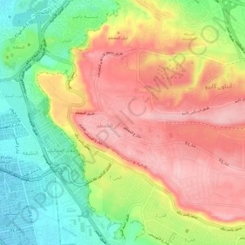
Name: El Mukkatam topographic map, elevation, terrain.
Location: El Mukkatam, Moqattam, Cairo, Egypt (29.99437 31.26996 30.03917 31.29473)
Average elevation: 410 ft
Minimum elevation: 92 ft
Maximum elevation: 702 ft
Other topographic maps
Click on a map to view its topography, its elevation and its terrain.