
Minerva topographic map
Interactive map
Click on the map to display elevation.
About this map
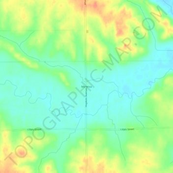
Name: Minerva topographic map, elevation, terrain.
Location: Minerva, Marshall County, Iowa, United States of America (42.09638 -93.10798 42.13638 -93.06798)
Average elevation: 955 ft
Minimum elevation: 896 ft
Maximum elevation: 1,040 ft