
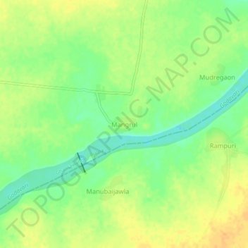
MANGARUL topographic map
Interactive map
Click on the map to display elevation.
About this map
Name: MANGARUL topographic map, elevation, terrain.
Location: MANGARUL, Ghansawangi, Jalna, Maharashtra, India (19.28631 75.94656 19.32631 75.98656)
Average elevation: 1,375 ft
Minimum elevation: 1,319 ft
Maximum elevation: 1,424 ft