
Samosir topographic map
Interactive map
Click on the map to display elevation.
About this map
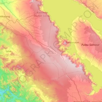
Name: Samosir topographic map, elevation, terrain.
Location: Samosir, Sumut, Indonesia (2.35196 98.39956 2.76040 98.99287)
Average elevation: 3,983 ft
Minimum elevation: 696 ft
Maximum elevation: 6,975 ft
Other topographic maps
Click on a map to view its topography, its elevation and its terrain.