
Haripurwa topographic map
Interactive map
Click on the map to display elevation.
About this map
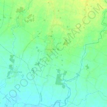
Name: Haripurwa topographic map, elevation, terrain.
Location: Haripurwa, Sarlahi, Province #2, 45800, Nepal (26.87085 85.66743 26.91581 85.70937)
Average elevation: 318 ft
Minimum elevation: 289 ft
Maximum elevation: 351 ft