
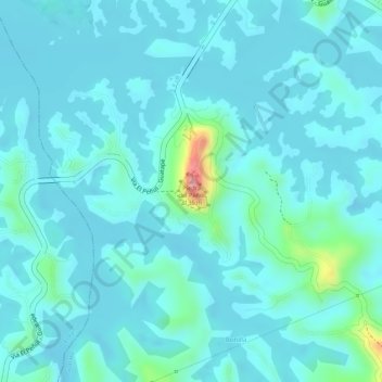
El Peñón de Guatapé topographic map
Interactive map
Click on the map to display elevation.
About this map
Name: El Peñón de Guatapé topographic map, elevation, terrain.
Location: El Peñón de Guatapé, Guatapé, Oriente, Antioquia, Colombia (6.21827 -75.18018 6.22061 -75.17817)
Average elevation: 6,224 ft
Minimum elevation: 6,158 ft
Maximum elevation: 6,611 ft
Other topographic maps
Click on a map to view its topography, its elevation and its terrain.