
Square Roger Martin du Gard topographic map
Interactive map
Click on the map to display elevation.
About this map
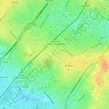
Name: Square Roger Martin du Gard topographic map, elevation, terrain.
Average elevation: 125 ft
Minimum elevation: 69 ft
Maximum elevation: 190 ft