
Seebach topographic map
Interactive map
Click on the map to display elevation.
About this map
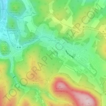
Name: Seebach topographic map, elevation, terrain.
Location: Seebach, Ruhla, Wartburgkreis, Thüringen, 99846, Deutschland (50.90303 10.40541 50.92379 10.44331)
Average elevation: 1,296 ft
Minimum elevation: 912 ft
Maximum elevation: 1,873 ft