Geolocate

McComb topographic map

Click on the map to display elevation.

About this map

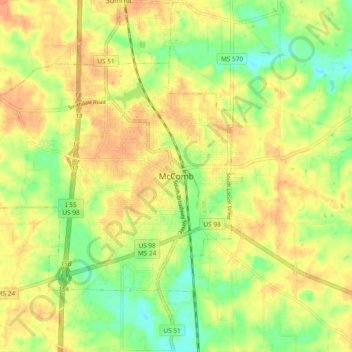
Name: McComb topographic map, elevation, terrain.

Location: McComb, Pike County, Mississippi, 39648, United States (31.20379 -90.49315 31.28379 -90.41315)

Average elevation: 413 ft

Minimum elevation: 328 ft

Maximum elevation: 479 ft

Pike County trails, hiking, mountain biking, running and outdoor activities

Gear up for your next adventure:

📡GPS Antenna Upgrade - Enhance GPS reception in remote terrain
🧥Men's Rain Shells - Premium waterproof and breathable jackets for mountain weather
🧥Waterproof Jacket for Hiking - Breathable and rugged rain jacket for outdoor excursions
🧣Hiking Neck Gaiter - Multi‑use neck protection for outdoor weather
🔥Plasma Lighters - Windproof lighters that work in any weather condition

As an Amazon Associate, this site earns from qualifying purchases at no extra cost to you.