
La Cañadilla topographic map
Interactive map
Click on the map to display elevation.
About this map
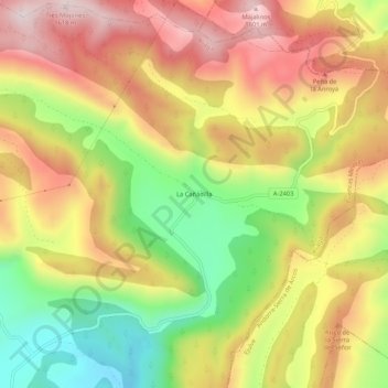
Name: La Cañadilla topographic map, elevation, terrain.
Location: La Cañadilla, Aliaga, Cuencas Mineras, Teruel, Aragon, Spain (40.71927 -0.64149 40.75927 -0.60149)
Average elevation: 4,469 ft
Minimum elevation: 3,553 ft
Maximum elevation: 5,295 ft