Geolocate

East Bernard topographic map

Click on the map to display elevation.

About this map

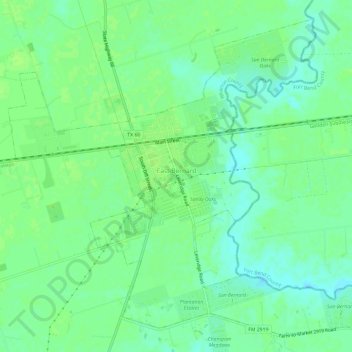
Name: East Bernard topographic map, elevation, terrain.

Location: East Bernard, Wharton County, Texas, United States (29.50314 -96.09334 29.54972 -96.03361)

Average elevation: 125 ft

Minimum elevation: 102 ft

Maximum elevation: 135 ft

Wharton County trails, hiking, mountain biking, running and outdoor activities

Gear up for your next adventure:

🦺Reflective Outdoor Gear - Safety gear for low‑light conditions
🧼Biodegradable Camping Soap - Eco‑friendly soap for outdoor hygiene
🔭Stargazing Telescopes - Perfect for camping in low-light pollution areas shown on maps
🌲Outdoor Survival Books - Best books on survival skills
🧷Carabiner Set - Durable clips for gear attachment

As an Amazon Associate, this site earns from qualifying purchases at no extra cost to you.