
Lauwersoog topographic map
Interactive map
Click on the map to display elevation.
About this map
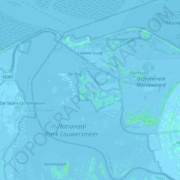
Name: Lauwersoog topographic map, elevation, terrain.
Location: Lauwersoog, Het Hogeland, Groningen, Netherlands (53.34274 6.16743 53.43018 6.30229)
Average elevation: -3 ft
Minimum elevation: -23 ft
Maximum elevation: 16 ft