
Izeh topographic map
Interactive map
Click on the map to display elevation.
About this map
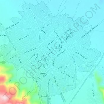
Name: Izeh topographic map, elevation, terrain.
Location: Izeh, بخش مرکزی, Izeh County, Khuzestan Province, Iran (31.80775 49.84117 31.85090 49.89254)
Average elevation: 2,828 ft
Minimum elevation: 2,661 ft
Maximum elevation: 3,953 ft
Other topographic maps
Click on a map to view its topography, its elevation and its terrain.
Izeh
Iran > Khuzestan Province > Izeh County > دهستان حومه غربی
Izeh, دهستان حومه غربی, بخش مرکزی, Izeh County, Khuzestan Province, Iran
Average elevation: 2,917 ft
عالی
Iran > Khuzestan Province > Izeh County > دهستان حومه شرقی > عالی
عالی, دهستان حومه شرقی, بخش مرکزی, Izeh County, Khuzestan Province, Iran
Average elevation: 4,173 ft