
Kannamedi topographic map
Interactive map
Click on the map to display elevation.
About this map
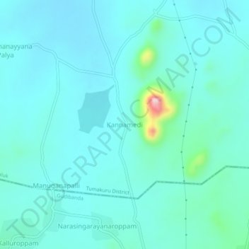
Name: Kannamedi topographic map, elevation, terrain.
Location: Kannamedi, Pavagada taluk, Tumakuru District, Karnataka, India (14.00040 77.18340 14.04040 77.22340)
Average elevation: 2,323 ft
Minimum elevation: 2,208 ft
Maximum elevation: 3,071 ft
Other topographic maps
Click on a map to view its topography, its elevation and its terrain.
Valluru
India > Karnataka > Pavagada taluk
Valluru, Pavagada taluk, Tumakuru District, Karnataka, India
Average elevation: 1,850 ft