
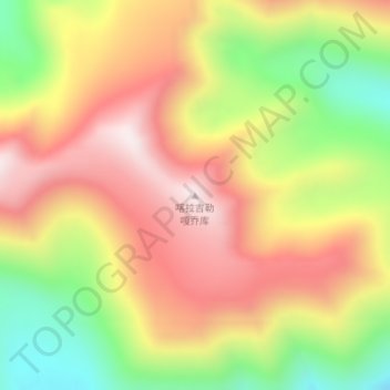
喀拉吉勒嘎乔库 topographic map
Interactive map
Click on the map to display elevation.
About this map
Name: 喀拉吉勒嘎乔库 topographic map, elevation, terrain.
Location: 喀拉吉勒嘎乔库, 科克亚尔柯尔克孜族乡, 塔什库尔干塔吉克自治县, 喀什地区, 新疆维吾尔自治区, 中国 (38.09390 74.88909 38.09400 74.88919)
Average elevation: 15,869 ft
Minimum elevation: 14,695 ft
Maximum elevation: 16,867 ft