
Langford topographic map
Interactive map
Click on the map to display elevation.
About this map
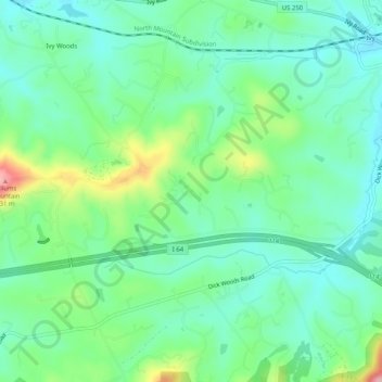
Name: Langford topographic map, elevation, terrain.
Location: Langford, Albemarle County, Virginia, 22945, USA (38.02042 -78.64057 38.06042 -78.60057)
Average elevation: 666 ft
Minimum elevation: 502 ft
Maximum elevation: 1,089 ft