
Thank you for supporting this site ❤️
Make a donation
Make a donation
Gear up for your next adventure:
As an Amazon Associate, this site earns from qualifying purchases at no extra cost to you.
Mrayjat topographic map
Click on the map to display elevation.
Thank you for supporting this site ❤️
Make a donation
Make a donation
Gear up for your next adventure:
As an Amazon Associate, this site earns from qualifying purchases at no extra cost to you.
About this map
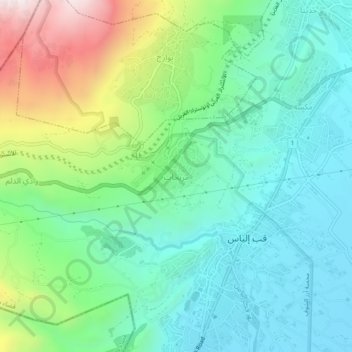
Name: Mrayjat topographic map, elevation, terrain.
Location: Mrayjat, Zahlé District, Beqaa Governorate, 1802, Lebanon (33.78532 35.79592 33.82532 35.83592)
Average elevation: 3,750 ft
Minimum elevation: 2,874 ft
Maximum elevation: 5,981 ft
Thank you for supporting this site ❤️
Make a donation
Make a donation
Gear up for your next adventure:
As an Amazon Associate, this site earns from qualifying purchases at no extra cost to you.
Other topographic maps
Click on a map to view its topography, its elevation and its terrain.