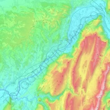
L'Isère topographic map
Interactive map
Click on the map to display elevation.
About this map
Name: L'Isère topographic map, elevation, terrain.
Average elevation: 2,142 ft
Minimum elevation: 512 ft
Maximum elevation: 6,742 ft

Click on the map to display elevation.
Name: L'Isère topographic map, elevation, terrain.
Average elevation: 2,142 ft
Minimum elevation: 512 ft
Maximum elevation: 6,742 ft