
Miradouro dos Cântaros topographic map
Interactive map
Click on the map to display elevation.
About this map
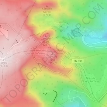
Name: Miradouro dos Cântaros topographic map, elevation, terrain.
Average elevation: 5,564 ft
Minimum elevation: 4,367 ft
Maximum elevation: 6,539 ft
Other topographic maps
Click on a map to view its topography, its elevation and its terrain.
Espinhaço de Cão
Portugal > Castelo Branco > Covilhã > Unhais da Serra
Espinhaço de Cão, Unhais da Serra, Covilhã, Castelo Branco, 6215-121, Portugal
Average elevation: 5,279 ft