
Mangandingay topographic map
Interactive map
Click on the map to display elevation.
About this map
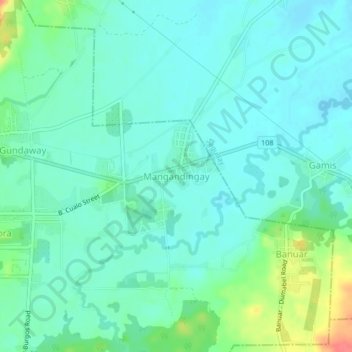
Name: Mangandingay topographic map, elevation, terrain.
Location: Mangandingay, Quirino, Cagayan Valley, 3400, Philippines (16.49447 121.52758 16.53447 121.56758)
Average elevation: 361 ft
Minimum elevation: 315 ft
Maximum elevation: 512 ft