
雍村 topographic map
Interactive map
Click on the map to display elevation.
About this map
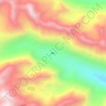
Name: 雍村 topographic map, elevation, terrain.
Location: 雍村, 古玉乡, 察隅县, 林芝市, 西藏自治区, 中国 (29.01901 97.21603 29.05901 97.25603)
Average elevation: 14,590 ft
Minimum elevation: 12,516 ft
Maximum elevation: 16,276 ft