
Macheros topographic map
Interactive map
Click on the map to display elevation.
About this map
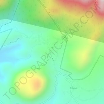
Name: Macheros topographic map, elevation, terrain.
Location: Macheros, Donato Guerra, México (19.35644 -100.29638 19.36688 -100.28792)
Average elevation: 8,045 ft
Minimum elevation: 7,402 ft
Maximum elevation: 9,206 ft
Other topographic maps
Click on a map to view its topography, its elevation and its terrain.