
李家湾 topographic map
Interactive map
Click on the map to display elevation.
About this map
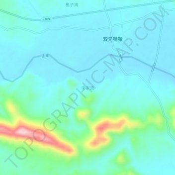
Name: 李家湾 topographic map, elevation, terrain.
Location: 李家湾, 宁乡市, 长沙市, 湖南省, 中国 (28.10189 112.25647 28.14189 112.29647)
Average elevation: 387 ft
Minimum elevation: 249 ft
Maximum elevation: 1,030 ft
Other topographic maps
Click on a map to view its topography, its elevation and its terrain.