
Ravenstein topographic map
Interactive map
Click on the map to display elevation.
About this map
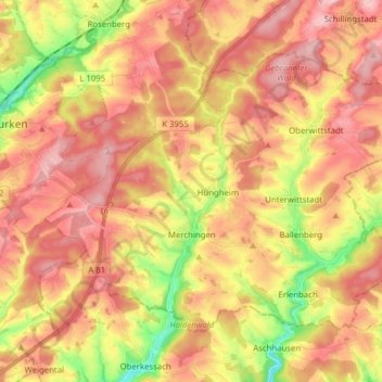
Name: Ravenstein topographic map, elevation, terrain.
Average elevation: 1,089 ft
Minimum elevation: 778 ft
Maximum elevation: 1,299 ft
Other topographic maps
Click on a map to view its topography, its elevation and its terrain.
Strümpfelbrunn
Duitsland > Baden-Württemberg > Neckar-Odenwald-Kreis
Strümpfelbrunn, Waldbrunn, Verwaltungsverband Neckargerach-Waldbrunn, Neckar-Odenwald-Kreis, Baden-Württemberg, 69429, Duitsland
Average elevation: 1,585 ft