
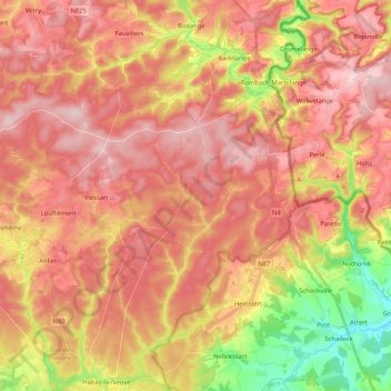
Forêt d'Anlier topographic map
Interactive map
Click on the map to display elevation.
About this map
Name: Forêt d'Anlier topographic map, elevation, terrain.
Average elevation: 1,421 ft
Minimum elevation: 955 ft
Maximum elevation: 1,706 ft
Other topographic maps
Click on a map to view its topography, its elevation and its terrain.
Martelange
Belgique > Luxembourg > Arlon > Martelange
Martelange, Arlon, Luxembourg, Wallonie, Belgique
Average elevation: 1,467 ft